@Dima,
I’ve restructured the
Map Making Guidelines to consolidate a decade of site history into a single, clear resource. This update includes several key additions:
- Technical Addendum: Clarifying scale and dimensions (The "Canvas-First" protocol).
- Territory Counts: Integrated the suggested territory benchmarks proposed by Bishop.
- Copyright Policy: Added the official permissions process as established by Cireon.
- Submission Checklist: A simple tool to ensure a map is technically ready before it's coded.
The original guidelines can still be downloaded at the bottom of that page if you’d like to compare; the core principles remain the same.
You now have all the tools necessary (Cartography access) to bring your maps into compliance. My only interest is ensuring every map on D12 meets our site standards. I ask that you respect these guidelines and avoid seeking exceptions—there is plenty of time for a map to develop, even if you feel it’s nearly finished.
To put things into perspective: being an Admin and the main active cartographer doesn't mean all of my submissions make it onto the site. My Roman Empire map—which you mentioned you liked—took years to develop. I’ve had many maps I felt were "done" that were ultimately rejected or required massive changes because it isn't solely my decision; I also have to meet the demands and standards of the cartography team.
We are here to help you succeed, but the basics—like scale and dimensions—are not up for debate. Use the checklist, follow the guide, and let's get the work done the right way.
aeronautic
D12 Official Map Making GuidelinesTechnical Standards & Community Expectations
Dominating 12 relies on the community for new maps. Any player may submit a map provided it meets our quality and technical standards.
1. The "Canvas-First" Protocol (Technical Addendum)Before any geography is drawn, the map dimensions must be set.
- UI Zones: You must allocate clear, non-congested space for the Map Title, Minimap, and Legend.
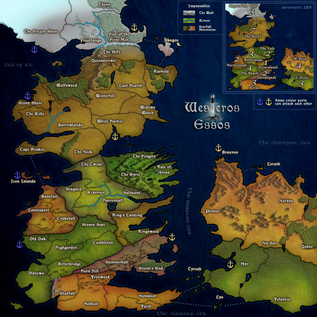
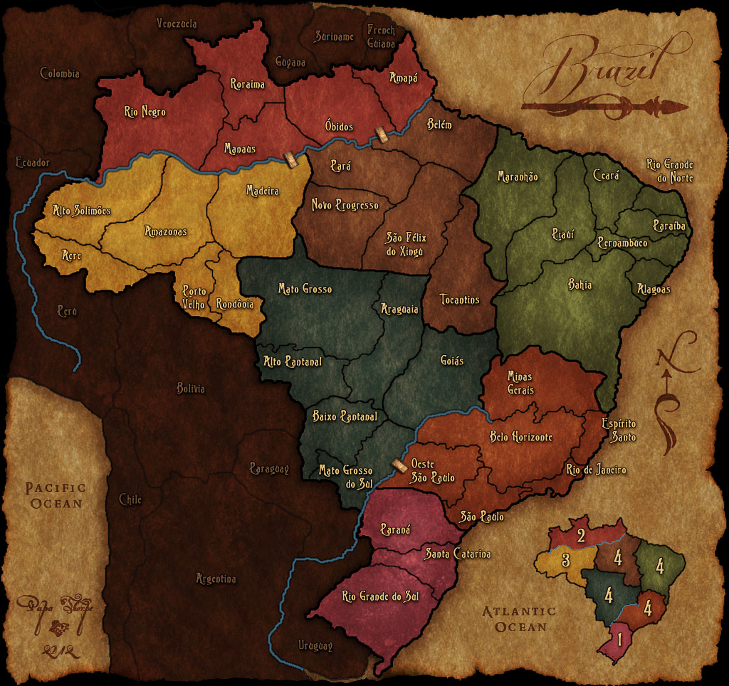
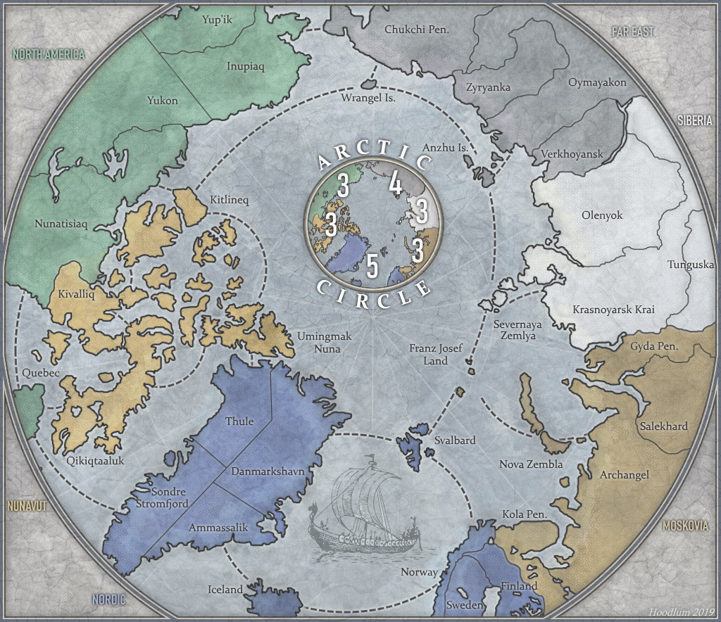
- No-Scroll Standard: Maps must maximize the viewport. Rotate landmasses (e.g., Italy, Philippines, Gold Coast) to fit a horizontal screen. Use a Compass Rose to indicate North.
- Scaling: Scrolling is an exception reserved exclusively for Large-Scale maps with high territory counts. Small/Medium maps must fit the screen without scrolling.
2. Territory Counts & Strategy- Optimal Counts: Aim for these totals for balanced play:
30, 32, 33, 35, 40, 42, 44, 52, 56, 65, 66, 81, 104, 117, 128, 144. - Forbidden Counts: Maps with 36-38 or 45-51 territories are prohibited due to troop distribution disadvantages in 3-player games.
- Defensibility: Territories should generally have 3 borders to defend. Maps with too many indefensible regions will be rejected.
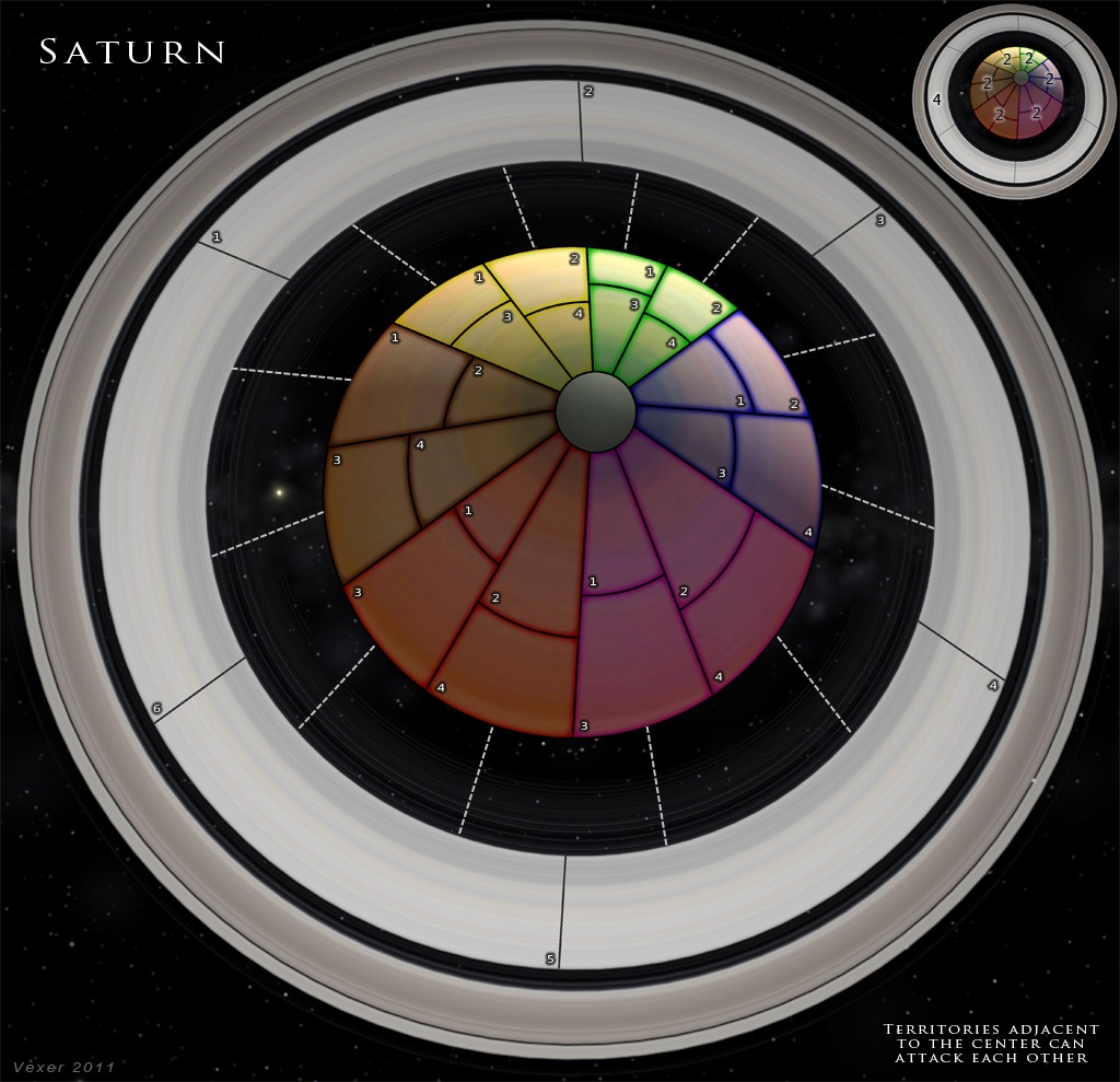
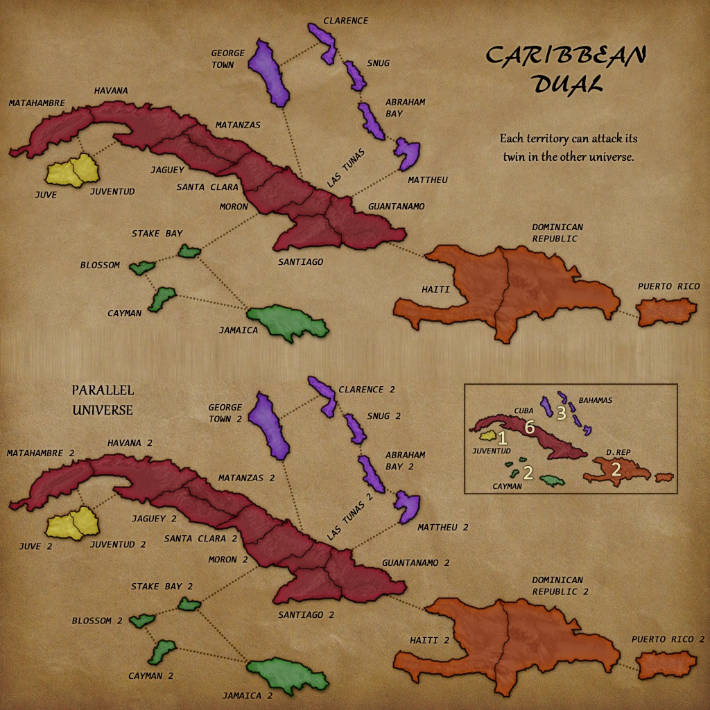
- Special Rules: Limit special gameplay to one type (e.g., ports OR adjacent bonuses).
3. Copyright PolicyMaps based on fiction (movies, games, books) are protected by law.
- Requirement: You must have explicit permission from the copyright holder or proof of "passivity" (no response after multiple attempts).
- Permission: If granted, provide the correspondence to a staff member. If denied, you must use a "roughly similar" original creation instead.
Dear Mrs/Mr,
For the website Dominating 12 (
www.dominating12.com) we would like to design a map based on {...}. As {...} is protected by copyright, we would like to ask permission to use the names and geographical features from {...} to create a map for our community.
Kind regards,
{...}
- Suggestions: Concepts must first be posted in the Map Suggestions thread.
- Revisions: If a site Cartographer requests a change for standard compliance, it is mandatory.
- Style: Maps must fit the site’s dark aesthetic. Extremely light or "cheesy" themes will be rejected.
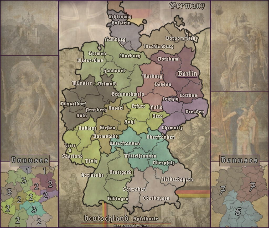
5. Graphical Requirements- Format/Size: JPEG (~300kb). Standard width: 1024px. HD width: 1366px (less preferred).
- Layers: Required for: Outline, Color, Shading, Texture, Connections, Text, Title, Minimap, and Credits.
- Anti-aliasing: Required for smooth edges. Jagged or blurry lines are not acceptable.
6. Beta Status & Tournament Integrity- Purpose: Beta is for testing gameplay flow and technical stability.
- Tournaments: Do not use Beta maps in official tournaments. Since Beta maps are subject to scale changes or game termination, they are unsuitable for competitive ranking until finalized.
7. Coding, Bonuses, & Capitals- Bonus Formula: Territories / 3 + Borders to Defend / 2.5.
Calculator
- Capitals: Spaced equally apart, one per region, in territories with 3+ connections. Use site templates for submission.
ResourcesSmall Circles |
Large Circles
CARTOGRAPHER COPYRIGHT AGREEMENTThe author retains copyright but grants Dominating 12 permission to use the image free of charge. D12 staff may make alterations to the submitted map for gameplay stability, graphical accuracy, or site compatibility.
Notice on Guideline Continuity: These guidelines have been updated to consolidate over a decade of site history into a single, character-efficient resource. The core principles established by our founding cartographers remain the same; these edits serve only to clarify technical standards for modern display resolutions and ensure consistent gameplay across all new submissions. Original GuidelinesD12 Map Maker’s Final ChecklistBefore submitting your final JPEG for coding, ensure your project meets the following requirements:- [ ] Canvas First: Does the map have clear, dedicated space for the Title, Minimap, and Legend? (Rule #1)
- [ ] Viewport Optimization: Is the landmass rotated to maximize the screen? Does the map fit without unnecessary scrolling? (Rule #1)
- [ ] Balanced Territory Count: Is your total territory count in the "Optimal" range and outside the "Forbidden" ranges (36-38, 45-51)? (Rule #2)
- [ ] Strategy Check: Do most territories have 3 or fewer borders to defend? (Rule #2)
- [ ] Legal Clearance: If based on fiction/games, do you have explicit permission or proof of passivity from the owner? (Rule #3)
- [ ] Dark Aesthetic: Does the color scheme fit the site’s dark style (avoiding neon/bright/white backgrounds)? (Rule #4)
- [ ] Technical Quality: Is the image a JPEG (~300kb)? Is the text legible with an outline/stroke? Is anti-aliasing applied to jagged edges? (Rule #5)
- [ ] Minimap Requirement: Does your minimap clearly show region names and bonuses? (Rule #6)
- [ ] Proper Capitals: Are your 2-4 and 5-8 player capitals spaced according to the site templates? (Rule #7)
Note: If you cannot check off every item above, your map will likely be sent back for further revisions before it can be entered into the system.
@@Dima,
I’ve restructured the [b]Map Making Guidelines[/b] to consolidate a decade of site history into a single, clear resource. This update includes several key additions: [list] [li][b]Technical Addendum:[/b] Clarifying scale and dimensions (The "Canvas-First" protocol).[/li] [li][b]Territory Counts:[/b] Integrated the suggested territory benchmarks proposed by Bishop.[/li] [li][b]Copyright Policy:[/b] Added the official permissions process as established by Cireon.[/li] [li][b]Submission Checklist:[/b] A simple tool to ensure a map is technically ready before it's coded.[/li] [/list] The original guidelines can still be downloaded at the bottom of that page if you’d like to compare; the core principles remain the same.
You now have all the tools necessary (Cartography access) to bring your maps into compliance. My only interest is ensuring every map on D12 meets our site standards. I ask that you respect these guidelines and avoid seeking exceptions—there is plenty of time for a map to develop, even if you feel it’s nearly finished.
To put things into perspective: being an Admin and the main active cartographer doesn't mean all of my submissions make it onto the site. My Roman Empire map—which you mentioned you liked—took years to develop. I’ve had many maps I felt were "done" that were ultimately rejected or required massive changes because it isn't solely my decision; I also have to meet the demands and standards of the cartography team.
We are here to help you succeed, but the basics—like scale and dimensions—are not up for debate. Use the checklist, follow the guide, and let's get the work done the right way.
[spoiler][quote=aeronautic][size=14][b]D12 Official Map Making Guidelines[/b][/size]
[i]Technical Standards & Community Expectations[/i]
[hr]
Dominating 12 relies on the community for new maps. Any player may submit a map provided it meets our quality and technical standards.
[hr]
[b][size=14][color=red]1. The "Canvas-First" Protocol (Technical Addendum)[/color][/size][/b]
Before any geography is drawn, the map dimensions must be set.
[list]
[li][b]UI Zones:[/b] You must allocate clear, non-congested space for the [b]Map Title[/b], [b]Minimap[/b], and [b]Legend[/b].[/li]
[li][b]No-Scroll Standard:[/b] Maps must maximize the viewport. Rotate landmasses (e.g., Italy, Philippines, Gold Coast) to fit a horizontal screen. Use a [b]Compass Rose[/b] to indicate North.[/li]
[li][b]Scaling:[/b] Scrolling is an exception reserved [u]exclusively[/u] for Large-Scale maps with high territory counts. Small/Medium maps must fit the screen without scrolling.[/li]
[/list]
[b][size=14]2. Territory Counts & Strategy[/size][/b]
[list]
[li][b]Optimal Counts:[/b] Aim for these totals for balanced play:
[i]30, 32, 33, 35, 40, 42, 44, 52, 56, 65, 66, 81, 104, 117, 128, 144.[/i][/li]
[li][b][color=red]Forbidden Counts:[/color][/b] Maps with [b]36-38[/b] or [b]45-51[/b] territories are prohibited due to troop distribution disadvantages in 3-player games.[/li]
[li][b]Defensibility:[/b] Territories should generally have 3 borders to defend. Maps with too many indefensible regions will be rejected.[/li]
[li][b]Special Rules:[/b] Limit special gameplay to one type (e.g., ports OR adjacent bonuses).[/li]
[/list]
[b][size=14]3. Copyright Policy[/size][/b]
Maps based on fiction (movies, games, books) are protected by law.
[list]
[li][b]Requirement:[/b] You must have explicit permission from the copyright holder or proof of "passivity" (no response after multiple attempts).[/li]
[li][b]Permission:[/b] If granted, provide the correspondence to a staff member. If denied, you must use a "roughly similar" original creation instead.[/li]
[/list]
[spoiler=Sample Permission Letter]
Dear Mrs/Mr,
For the website Dominating 12 (www.dominating12.com) we would like to design a map based on {...}. As {...} is protected by copyright, we would like to ask permission to use the names and geographical features from {...} to create a map for our community.
Kind regards,
{...}
[/spoiler]
[b][size=14]4. Expectations & Process[/size][/b]
[list]
[li][b]Suggestions:[/b] Concepts [i]must[/i] first be posted in the [url=https://dominating12.com/forums/3/map-creation/93/map-suggestions]Map Suggestions[/url] thread.[/li]
[li][b]Revisions:[/b] If a site Cartographer requests a change for standard compliance, it is [b][color=red]mandatory[/color][/b].[/li]
[li][b]Style:[/b] Maps must fit the site’s dark aesthetic. Extremely light or "cheesy" themes will be rejected.[/li]
[/list]
[b][size=14]5. Graphical Requirements[/size][/b]
[list]
[li][b]Format/Size:[/b] JPEG (~300kb). Standard width: 1024px. HD width: 1366px (less preferred).[/li]
[li][b]Layers:[/b] Required for: Outline, Color, Shading, Texture, Connections, Text, Title, Minimap, and Credits.[/li]
[li][b]Anti-aliasing:[/b] Required for smooth edges. Jagged or blurry lines are not acceptable.[/li]
[/list]
[b][size=14][color=red]6. Beta Status & Tournament Integrity[/color][/size][/b]
[list]
[li][b]Purpose:[/b] Beta is for testing gameplay flow and technical stability.[/li]
[li][b]Tournaments:[/b] [b][color=red]Do not use Beta maps in official tournaments.[/color][/b] Since Beta maps are subject to scale changes or game termination, they are unsuitable for competitive ranking until finalized.[/li]
[/list]
[b][size=14]7. Coding, Bonuses, & Capitals[/size][/b]
[list]
[li][b]Bonus Formula:[/b] [i]Territories / 3 + Borders to Defend / 2.5[/i].[/li] [url=https://dominating12.com/tools]Calculator[/url]
[li][b]Capitals:[/b] Spaced equally apart, one per region, in territories with 3+ connections. Use site templates for submission.[/li]
[/list]
[b][size=14]Resources[/size][/b]
[url=https://dominating12.com/assets/img/territories/normal-small.png]Small Circles[/url] | [url=https://dominating12.com/assets/img/territories/normal-large.png]Large Circles[/url]
[hr]
[b][size=12]CARTOGRAPHER COPYRIGHT AGREEMENT[/size][/b]
The author retains copyright but grants Dominating 12 permission to use the image free of charge. D12 staff may make alterations to the submitted map for gameplay stability, graphical accuracy, or site compatibility.
[hr]
[i][b]Notice on Guideline Continuity:[/b] These guidelines have been updated to consolidate over a decade of site history into a single, character-efficient resource. The core principles established by our founding cartographers remain the same; these edits serve only to clarify technical standards for modern display resolutions and ensure consistent gameplay across all new submissions.[/i] [url=https://mapconquest.com/document/cartography.rtf]Original Guidelines[/url]
[b][size=14]D12 Map Maker’s Final Checklist[/size][/b]
[i]Before submitting your final JPEG for coding, ensure your project meets the following requirements:[/i]
[list]
[li][b][ ] Canvas First:[/b] Does the map have clear, dedicated space for the Title, Minimap, and Legend? (Rule #1)[/li]
[li][b][ ] Viewport Optimization:[/b] Is the landmass rotated to maximize the screen? Does the map fit without unnecessary scrolling? (Rule #1)[/li]
[li][b][ ] Balanced Territory Count:[/b] Is your total territory count in the "Optimal" range and outside the "Forbidden" ranges (36-38, 45-51)? (Rule #2)[/li]
[li][b][ ] Strategy Check:[/b] Do most territories have 3 or fewer borders to defend? (Rule #2)[/li]
[li][b][ ] Legal Clearance:[/b] If based on fiction/games, do you have explicit permission or proof of passivity from the owner? (Rule #3)[/li]
[li][b][ ] Dark Aesthetic:[/b] Does the color scheme fit the site’s dark style (avoiding neon/bright/white backgrounds)? (Rule #4)[/li]
[li][b][ ] Technical Quality:[/b] Is the image a JPEG (~300kb)? Is the text legible with an outline/stroke? Is anti-aliasing applied to jagged edges? (Rule #5)[/li]
[li][b][ ] Minimap Requirement:[/b] Does your minimap clearly show region names and bonuses? (Rule #6)[/li]
[li][b][ ] Proper Capitals:[/b] Are your 2-4 and 5-8 player capitals spaced according to the site templates? (Rule #7)[/li]
[/list]
[i][b]Note:[/b] If you cannot check off every item above, your map will likely be sent back for further revisions before it can be entered into the system.[/i]
[/quote]
[/spoiler]

 . I would simply go with the current size and see how well the maps fares among the player base. If its popular, then everything is okay.
![[image]](https://mapconquest.com/play/images/path_marker.gif)
![[image]](https://i.imgur.com/wmupEZy.png)

![[image]](https://i.ibb.co/wZ4204n3/example.jpg)
![[image]](https://i.imgur.com/EBt6wsL.jpeg)
